Standard trail estimates fail completely on steep, wooded terrain. A hiker moving at 4.8 kilometers per hour on a packed gravel path often drops to 1.6 kilometers per hour when climbing through mixed conifer forest on an 18 percent slope. Misjudging this rate creates dangerous delays, pushing descents past twilight and forcing unplanned bivouacs in cold, wet drainages.
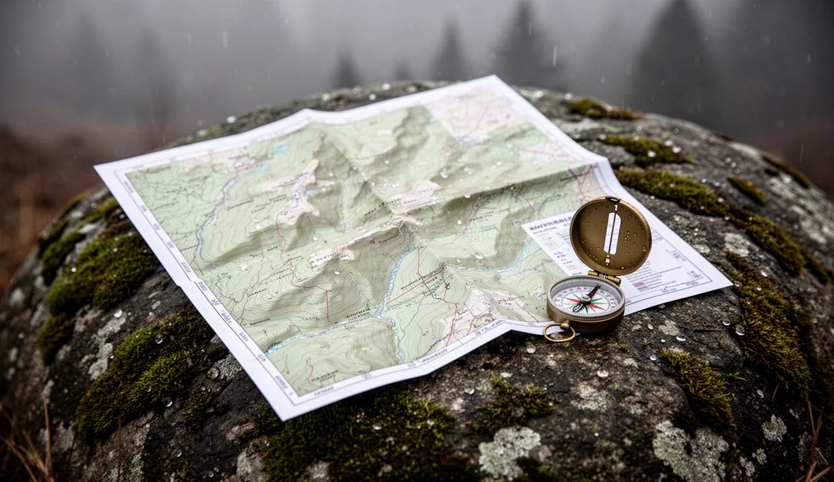
Calculating an accurate gradient-adjusted pace requires systematic tracking of horizontal distance, vertical rise, underfoot conditions, and carried weight. You do not need software subscriptions to establish reliable splits. A topographic map, a mechanical compass, and calibrated arithmetic provide the precise travel windows required to negotiate technical timber climbs safely.
Applying baseline flat walking speeds by trail grade
Establish an honest flat-ground baseline before calculating mountain times. An unburdened adult walking on smooth, level asphalt averages 4.8 to 5.2 kilometers per hour. That figure is irrelevant inside a forest corridor. The baseline for unimpeded dirt tracks with zero vertical rise sits closer to 4.0 kilometers per hour due to micro-deviations around vegetation, minor surface irregularities, and soft soil compression.
As gradient increases, your forward velocity degrades non-linearly. The human body burns significantly more metabolic energy maintaining balance and fighting gravity on inclines above 8 percent. Between 0 and 7 percent, forward momentum remains relatively stable. Once the incline exceeds 12 percent, hip flexor engagement and calf recruitment limit stride length, cutting your forward speed by roughly one-third even on clear soil.
| Trail Grade | Angle (Degrees) | Tread Condition | Baseline Speed (km/h) | Pace (min/km) |
|---|---|---|---|---|
| 0% to 5% | 0° to 3° | Packed dry loam, minimal roots | 4.2 | 14.3 |
| 6% to 11% | 3.5° to 6° | Firm soil, intermittent rocks | 3.4 | 17.6 |
| 12% to 17% | 7° to 10° | Exposed roots, uneven tread | 2.3 | 26.1 |
| 18% to 25% | 10.5° to 14° | Steep duff, step-ups required | 1.5 | 40.0 |
| 26% and above | 15° and higher | Hand support needed, timber scramble | 0.9 | 66.7 |
Track your personal benchmark over a known 2-kilometer segment of level dirt. Record the elapsed time with your standard day pack. If your baseline across flat dirt is 3.8 kilometers per hour, scale every cell in the table downward by 10 percent. Never use road running splits or treadmills to generate these foundational numbers.
Adding elevation penalty metrics using contour maps
Contour lines convert two-dimensional map distances into realistic three-dimensional workloads. Classic Scottish hillwalking relies on Naismith's Rule: allow 1 hour for every 5 kilometers of forward travel, plus 1 hour for every 600 meters of ascent. In dense North American or alpine European forests, where trails rarely feature engineered switchbacks, this rule underestimates the physical toll. Use an adjusted penalty of 10 minutes for every 100 meters of vertical gain on moderate slopes, and 14 minutes per 100 meters on grades exceeding 15 percent.
To calculate climb duration from a 1:24,000 scale topographic map, execute this sequence:
- Measure the horizontal trail distance using a map wheel, cord, or paper strip aligned with the route curves. Note this distance in kilometers.
- Count the index contours crossed between your starting elevation and your objective. On a 1:24,000 map with 40-foot intervals, every fifth line is an index contour representing 200 feet (61 meters). On a 1:50,000 map with 20-meter intervals, index lines mark 100 meters of rise.
- Calculate flat-distance travel time using your baseline speed for that trail width.
- Multiply the total vertical ascent (in hundreds of meters) by your vertical penalty metric.
- Add the flat travel time and the vertical penalty time together.
Consider a working example: an approach through subalpine hemlock covering 3.2 kilometers horizontal distance while crossing seven 40-foot contour lines and three 200-foot index lines, totaling 268 meters of vertical gain. The forest grade averages 14 percent. At a 14 percent grade baseline pace of 26 minutes per kilometer, the horizontal distance requires 83.2 minutes. The 268-meter climb, calculated at 12 minutes per 100 meters for this grade, adds 32.1 minutes. The total estimated moving time is 115.3 minutes, or roughly 1 hour and 55 minutes, excluding mandatory rest stops.
Factoring mud and loose rock underfoot conditions
Gravity is only one half of the resistance equation on steep timber tracks. The forest floor introduces surface friction penalties that cause rearward slip with every step. When you lose 5 centimeters of purchase per stride on wet needles or slick clay, your legs perform the work of climbing without propelling you forward, burning energy while lowering speed by 15 to 35 percent.
Apply surface friction coefficients directly to your combined distance-and-elevation split. Calculate your baseline time for the segment, then multiply by the surface factor that matches real-time ground conditions:
- Dry compacted forest loam: 1.0 (no penalty added).
- Deep conifer needle duff: 1.12 (soft cushion absorbs push-off force, slightly shortens stride).
- Intertwined, exposed wet tree roots: 1.28 (requires deliberate foot placement, visual scanning, and braking).
- Unconsolidated glacial till or river scree: 1.38 (back-sliding on steps steeper than 12 degrees).
- Saturated clay mud: 1.45 (frequent slip recovery, heavy tread clogging, loss of purchase).
Understory brush introduces an additional brake. If the trail corridor is encroached by slide alder, salmonberry, or fallen deadfall requiring step-overs every 20 meters, increase your calculated time by an extra 20 percent. A 2-kilometer traverse with 200 meters of elevation that normally takes 50 minutes will easily demand 72 minutes if unmaintained brush and wet root systems coincide after a rainstorm.
Adjusting calculated paces for heavy gear loads
Carried mass magnifies every steep gradient penalty. The human cardiovascular system tolerates flat pack weight reasonably well by shifting momentum forward. On an incline, pack weight acts as a direct vector pulling your center of mass backward and downward. Every kilogram resting on your hips increases the eccentric workload on the quadriceps during ascent and drives up oxygen consumption.
Use base pack weight (excluding water and food) as an initial baseline, then verify your total trail weight on a scale before departure. Incorporate these load adjustments into your pacing formula:
| Pack Weight (kg) | Percentage of Body Mass (Approx.) | Gradient 0% to 10% Penalty | Gradient 11% to 20% Penalty | Gradient >20% Penalty |
|---|---|---|---|---|
| Under 6 kg | Under 8% | 0% | 0% | +5% |
| 6 to 11 kg | 8% to 14% | +3% | +7% | +12% |
| 12 to 17 kg | 15% to 21% | +6% | +14% | +22% |
| 18 to 23 kg | 22% to 28% | +11% | +23% | +36% |
| Over 24 kg | Over 29% | +18% | +34% | +52% |
When packing for multi-day expeditions with loads exceeding 18 kilograms, schedule a 7-minute standing rest for every 45 minutes of active climbing on slopes over 12 percent. These pauses prevent muscular failure and systemic dehydration. Add these planned breaks into your spreadsheet or route plan before you leave the trailhead. They are not optional delays; they are physiological operational requirements.
Setting firm turnaround times before daylight ends
Calculating uphill speeds is useless if you fail to calculate descent times. Many navigators mistakenly assume the return trip downhill takes half the time of the ascent. On steep, technical forest trails covered in loose rock or wet organic material, descending often matches the uphill duration. Controlled deceleration demands high muscular effort to protect knees and ankles, and stepping down over wet root ladders requires precision foot placement.
For descents on gradients between 12 and 22 percent, calculate descent time at 75 percent of the ascent time. If the trail exceeds 23 percent or involves loose scree over hardpan, calculate descent time at 90 to 100 percent of your ascent time. Fatigue at the end of a long push slows reaction times, further widening this descent margin.
Establish a hard turnaround time using backward planning from civil twilight, not sunset:
- Determine the exact minute of civil twilight for your geographic coordinates. Civil twilight marks when the sun drops 6 degrees below the horizon, after which ambient light in deep timber disappears completely.
- Subtract a 45-minute safety buffer from civil twilight. This accommodates unexpected gear adjustments, minor navigation checks, or sprained ankles.
- Subtract your estimated descent time, calculated with full gradient, surface, and pack penalties.
- Subtract your planned summit or objective rest duration (typically 20 to 30 minutes).
- The resulting clock time is your absolute turnaround deadline. If you reach 13:45 and your turnaround time is 14:00, you have 15 minutes of climbing remaining, regardless of how close you are to the ridgeline.
Forest canopies block remaining skylight up to 40 minutes before open meadows go dark. If your descent stays entirely under old-growth spruce or cedar, adjust your civil twilight reference backward by an additional 25 minutes. Navigating steep, unmaintained switchbacks under headlamp light cuts travel speeds by nearly half and multiplies fall risks.
Common mistakes
Hikers frequently make critical errors when estimating steep timber routes by applying overly optimistic planning assumptions:
- Trusting GPS track recording averages: Handheld GPS units average walking speeds across an entire day, blending easy flats with steep climbs. Using a day-long 3.5 km/h average to calculate a final 400-meter wall climb produces catastrophic timing errors.
- Ignoring micro-switchbacks: Topographic maps with 40-foot or 20-meter contours smooth out small gullies and short drop-offs. If a trail navigates around dozens of windthrown trees and localized rock ribs, the real ground distance can be 15 to 25 percent greater than the measured line on your map.
- Discounting descent braking fatigue: Fast downhill descents burn out the quadriceps through continuous eccentric contractions. Hikers who push hard to reach a summit find their leg stabilizers shaking on the descent, forcing slow, guarded lateral steps that destroy their planned return schedule.
- Overlooking seasonal foliage differences: A trail that was dry, firm, and wide in mid-summer becomes greasy, narrow, and slick by late autumn when wet leaves cover hidden roots and mud ruts. Adjust surface multipliers according to the current season, not past summer outings.
Calibrating your personal pace index
Standard numbers provide a framework, but personal fitness, stride length, and pack balance determine final speeds. Build your own calibration index before attempting high-consequence routes in remote timber.
Locate a local forest preserve or mountain trail with a verified topographic profile. Select a segment that rises at least 300 vertical meters over 2 to 3 kilometers. Load your pack with the exact weight you plan to carry on your objective, including full water bladders. Hike the segment at a sustainable, conversational heart rate. Record your splits at every 100 meters of elevation gain and note where the grade sharpens.
Divide your total elapsed time into horizontal and vertical components using the formulas outlined above to isolate your unique speed parameters. Write these numbers on an index card, laminate it, and tuck it behind the compass in your pocket. Rely on those recorded metrics when planning steep forest ascents, and always honor the turnaround time your arithmetic dictates.