
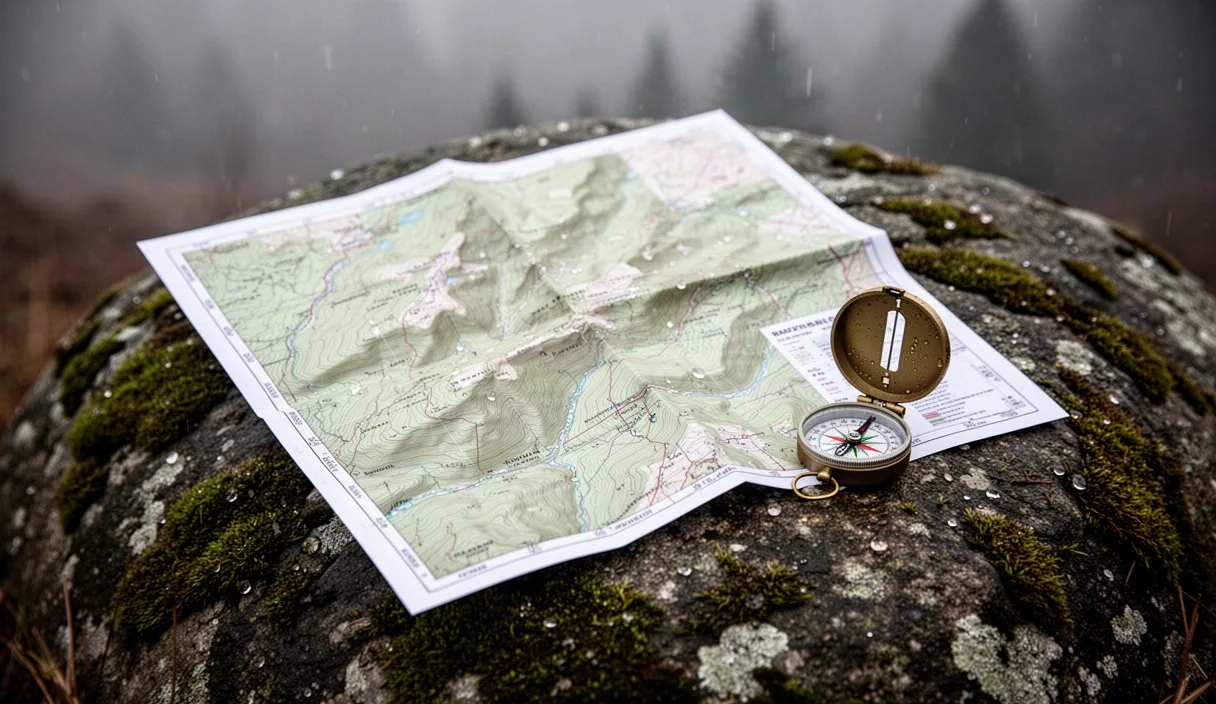
Paper maps do not fail. A waterproof 7.5-minute topographic sheet weighs roughly 43 grams, requires zero battery power, and gives you an uninterrupted 22-by-27-inch view of the drainage basin you are trying to climb out of. Dedicated offline GPS apps like Gaia GPS, CalTopo, and onX Backcountry turn a standard smartphone into an active locator that shows your exact coordinate within five meters. Both tools belong in your pack, but treating them as interchangeable navigational aids gets hikers turned around every season.
Day hikers routinely choose convenience over redundancy. A pocket-sized screen with a moving blue dot removes the perceived need to count contour intervals, check aspect, or monitor elapsed trail pace. That calculation holds up until low temperatures, thick forest cover, and wet weather strip your phone of its operational margins. Understanding where digital mapping fails and where paper slows you down determines how quickly you resolve an unexpected route change before sunset.
Battery draw rates under cold canopy cover
Dense wet canopy destroys phone battery life faster than sub-freezing air alone. When hiking through mixed hardwood and coniferous forests saturated with rain, multi-path signal reflection degrades the satellite broadcast. The internal Global Navigation Satellite System (GNSS) chip inside a phone increases its operational polling frequency and amplifier gain to maintain a three-dimensional lock. In clear sky conditions at 18 degrees Celsius, an iPhone 14 or Samsung Galaxy S23 running an active background tracking app with the screen asleep consumes between 2.8 percent and 4.2 percent of battery capacity per hour. Take that same device into an old-growth hemlock ravine at 2 degrees Celsius with wet vegetation overhead, and the draw rate climbs to between 11.5 percent and 16.3 percent per hour.
Screen illumination drives the second half of the power loss. Modern OLED panels require between 400 and 850 nits of brightness to remain readable under overcast outdoor skylight, and over 1,200 nits in direct sunlight. If you pull your phone out of your pocket every four minutes to verify a trail junction, keep the display active for 45 seconds, and run a vector map layer, your screen runtime will exhaust a standard 3,200-milliampere-hour battery in less than five hours. Cold temperatures drop the internal voltage of lithium-ion cells below the critical cutoff threshold long before the chemical charge is fully exhausted, causing sudden shutdowns at indicated battery readings as high as 28 percent.
| Environment and Settings | Display Status | Estimated Hourly Draw | Expected Runtime (3,300 mAh) |
|---|---|---|---|
| Clear sky, 20°C, Airplane Mode, GPS logging on | Screen off, checked once per hour | 2.4% - 3.1% | 31 to 40 hours |
| Wet hemlock canopy, 3°C, Airplane Mode, GPS logging on | Screen off, checked twice per hour | 7.8% - 10.4% | 9 to 12 hours |
| Wet hemlock canopy, 1°C, Cellular active, GPS logging on | Screen at 80% brightness, checked 12 times per hour | 17.2% - 23.6% | 4 to 5.5 hours |
| Sub-zero windchill, -4°C, Cellular active, routing active | Continuous navigation display | 38.0% - 64.0% | 1.5 to 2.5 hours (or sudden cutoff) |
Paper maps operate on zero milliwatts. A folded sheet tucked inside a clear polyurethane map case rides on your chest harness or under your pack lid, instantly readable in pouring rain, blowing snow, or blistering heat without power budgeting. You can study a paper sheet for forty consecutive minutes to trace an alternate ridge escape while your phone stays powered off inside an insulated layer, preserving its reserve power for true emergency signaling.
Contour reading speed: paper vs small screens
Small screens force navigation through a drinking straw. A standard smartphone screen offers an active viewing diagonal of roughly six inches. When you zoom out far enough to see the regional drainage pattern and your ultimate destination ten kilometers away, the contour lines merge into an unreadable solid brown block, or the application automatically hides intermediate 20-foot or 40-foot intervals to declutter the vector render. When you zoom in close enough to distinguish a cliff band from a walkable spur, you lose all peripheral spatial awareness. You see the trail beneath your feet, but you cannot see that the canyon you are entering dead-ends into a box canyon two kilometers east.
A standard 1:24,000 scale quadrangle map displays an area of approximately 65 square kilometers across your lap at once. The human visual system processes spatial context across this broad surface almost instantly. You can place your thumb on your current position and your index finger on an extraction trailhead, immediately checking the intervening topography for:
- Saddle points and false summits that will add uncalculated elevation gain to your day.
- Convergences of index contours that indicate impassable rock bluffs exceeding your scrambling ability.
- Drainage runouts that will swell into dangerous whitewater crossings after an afternoon storm.
- Parallel handrails such as logging roads, utility corridors, or distinct ridgelines that can catch an off-course bearing.
Digital applications counter this with dynamic shading and digital elevation models. An app like CalTopo or Gaia can overlay slope-angle shading in graduated bands of yellow, orange, and red. This highlights terrain steeper than 30 degrees at a glance, which proves invaluable when assessing avalanche terrain or route exposure. However, reading that slope angle on a digital screen still requires continuous digital interaction: panning, zooming, and waiting for map tiles to cache if you wander outside your pre-downloaded boundary. On complex ground, assessing a route on a 1:24,000 paper sheet takes ten seconds; assembling the same comprehensive mental model by swiping around a six-inch screen takes two to three minutes.
Calibrating phone sensors around iron rock deposits
Phone compasses lie regularly in mineralized terrain. Smartphones determine orientation by pairing a three-axis magnetometer with an accelerometer and a gyroscope. The magnetometer measures the strength and direction of the local magnetic field. When you hike across basalt flows, granite plutons with high magnetite concentrations, gabbro, or iron-rich metamorphic schist, the rock itself produces intense localized magnetic anomalies. These deposits bend the magnetic field lines around your phone, causing the digital heading indicator to swing erratically by 20 to 65 degrees without warning.
A physical baseplate compass also suffers from mineral deflection, known as local attraction, but the physical needle behaves differently. When you hold a baseplate compass over an iron-bearing rock, you can see the needle dip vertically toward the stone or stutter against its pivot housing. The physical feedback is immediate and obvious. A smartphone hides this mechanical reality behind software smoothing algorithms. The operating system attempts to filter out erratic jumps, presenting you with a clean, confident compass heading on your screen that may be dead wrong by forty degrees.
To identify and clear internal sensor errors, run this manual calibration cycle whenever your digital compass drifts away from known terrain features:
- Step clear of metallic equipment: Move your trekking poles, pocketknife, watch, and pack frame at least two meters away from your body.
- Execute a three-axis figure-eight: Hold the phone flat in your hand and move it smoothly through a wide figure-eight motion while rotating your wrist through the pitch, roll, and yaw axes. Repeat this cycle six times.
- Cross-reference physical landmarks: Stand facing a known, visible landform identified on your map, such as a mountain pass or fire tower. Sight along the top edge of your phone and confirm the displayed digital bearing matches your calculated grid-to-magnetic azimuth.
- Check GPS heading versus magnetic heading: Walk forward in a straight line at your normal pace for thirty meters. A GPS calculate-heading mode derives orientation by measuring the vector between successive satellite fixes, bypassing the internal magnetometer entirely. If the GPS tracking vector and the digital compass heading diverge by more than ten degrees, lock your application to GPS track heading and discontinue using the phone's internal compass for line-of-sight navigation.
Backup power banks and water-resistant cases
Relying on a phone for primary navigation demands a hardened hardware system. Never take a naked phone on a backcountry trail. Most modern consumer phones carry an IP68 rating, meaning they can survive submersion under 1.5 meters of fresh water for thirty minutes. What the marketing specifications omit is that wet capacitive touchscreens become completely unusable in steady rain. Water droplets register as phantom finger touches, zooming your mapping app to maximum magnification or canceling your recorded track while you try to swipe. Furthermore, moisture inside the USB-C or Lightning port activates an automatic charge-protection lock, preventing you from plugging in a power bank until the contacts dry completely.
Your hardware kit must compensate for these physical limitations through specific gear choices:
- Select the correct power bank chemistry: Carry a 5,000 to 10,000 mAh external pack built with lithium-polymer pouch cells rather than standard cylindrical 18650 cells. Pouch cells operate with lower internal resistance and perform better between -5 and 15 degrees Celsius. A 10,000 mAh pack delivers roughly 37 watt-hours of energy, which accounts for voltage conversion losses and recharges a standard smartphone twice from near-empty.
- Carry an active port seal: Encase the phone in a rugged two-piece housing with a built-in screen protector that sits slightly elevated above the glass, or use a certified roll-top dry pouch with an optical-grade clear window. Ensure the charging port is covered by an elastomeric rubber gasket.
- Prevent low-temperature shutdown: Store the phone inside an internal chest pocket close to your torso. Your body heat maintains the battery chemistry between 20 and 28 degrees Celsius, preventing premature low-voltage cutoffs. Never leave your phone mounted to your shoulder strap or in the exterior water bottle pocket of your pack in cold wind.
- Pack a dedicated short cable: Bring a thick, reinforced 15-centimeter charging cable. Long, thin cables increase resistance, drop charging voltage, and become brittle enough to snap when flexed below zero degrees.
Standard field procedure when electronics die
When your screen goes black and refuses to power back up, stop walking immediately. Wandering forward while hoping the device reboots creates search-and-rescue incidents. You must switch instantly to your analogue protocol before you lose track of your estimated position.
Halt your movement. Step off the center of the trail to avoid blocking other hikers, drop your pack, and put on an insulating jacket. Stress levels spike the moment digital navigation fails; pausing your physical output drops your heart rate and prevents hasty, emotionally driven terrain choices. Do not touch your compass yet. Drink two swallows of water, take a mental inventory of your physical state, and focus completely on the physical environment around you.
Establish your last known position on paper. Retrieve your topographic map and baseplate compass from your waterproof storage. Note the exact time on your wrist watch. Recall the last verified landmark you saw on your GPS app: a named creek crossing, a trail junction, an elevation contour marker, or an open saddle. Calculate your estimated position using dead reckoning. If you passed the switchback near the clear tributary forty minutes ago and you walk uphill at an average pace of three kilometers per hour, you have advanced roughly two kilometers along the marked trail vector. Mark that estimated position lightly on the paper sheet with a pencil.
Orient the map to true north using physical terrain association. Lay your compass flat on the map, line up the compass edge with the nearest north-south UTM grid line or true north line, and adjust for your local magnetic declination. Rotate your body and the map together until the compass needle settles into the orienting arrow. Look up at the landscape. Identify the prominent ridgeline to your left, the valley floor to your right, and the sun or shadow angle relative to the slope. If the paper map matches the lay of the land in front of your eyes, your orientation is confirmed.
Choose an unmistakable navigational handrail or an unambiguous catch feature. Look ahead on your route for a terrain boundary you cannot miss: a paved road, a wide logging road, a continental divide ridge, or a primary river running perpendicular to your path. If you are uncertain of your exact location on the trail, do not strike out cross-country to save time. Commit to staying on the established, beaten path until you intersect your chosen catch feature. If darkness is falling or weather makes forward travel hazardous, stop and bivouac where you are while you still have daylight to arrange your shelter and water.
Common mistakes
Hikers repeat the same four procedural errors when transitioning between paper maps and digital applications:
- Failing to cache offline vector and satellite tiles: Hikers test their GPS app at home on a fast Wi-Fi connection, assume the trail is saved, and arrive at the trailhead only to find a blank gray grid because the background map layers were never explicitly downloaded to the phone's internal flash storage.
- Ignoring magnetic declination on baseplate compasses: Using a compass set to zero declination when reading a USGS map in an area with a 14-degree east or west variance introduces an error of roughly 245 meters for every kilometer traveled. You will miss small saddles and subtle drainage forks completely.
- Leaving cellular radios searching in the background: Setting out on trail with Wi-Fi, Bluetooth, and cellular networks active causes the phone to blast high-power search pings to distant cell towers continuously, draining the battery in less than three hours even if the phone remains in your pocket.
- Treating the GPS track log as an infallible breadcrumb trail: Following your morning track blindly backward when escaping an afternoon storm can lead you over newly flooded creek crossings, onto slick rock slabs made hazardous by rain, or into boulder fields that were passable going up but dangerous descending.
Immediate practical next steps
Navigate your next day hike using a deliberate hybrid system rather than relying exclusively on a single tool. Start your preparation tonight by purchasing the printed USGS 7.5-minute topographic quadrangles or specialized recreation trail maps for your target wilderness area. Store them inside a clear, heavy-duty sealable map case alongside a quality baseplate compass that features a tool-less adjustable declination screw. Adjust the declination on that compass to match the current magnetic variance printed on the map margin.
Open your digital GPS mapping app and verify that your target regional boundary is explicitly downloaded for offline use. Switch your phone into Airplane Mode, disable background app refresh, and open the app to verify the contour lines and trail names render clearly without any cellular or data connection active. Pack a charged 10,000 mAh lithium-polymer power bank and a reinforced short charging cable in a dry bag alongside your compass. When you step onto the trail tomorrow morning, use your phone to double-check your position at complicated junctions, but keep the paper map accessible across your chest, tracking your progress by contour and drainage as you walk.